
The drought conditions that have impacted the Great Lakes-St. Lawrence River watershed this spring have continued to persist into the summer. The North American drought monitor maps show abnormally dry to moderate drought conditions within most of the basin, both upstream (around Lake Erie and Lake Ontario) and downstream (along the St. Lawrence River).
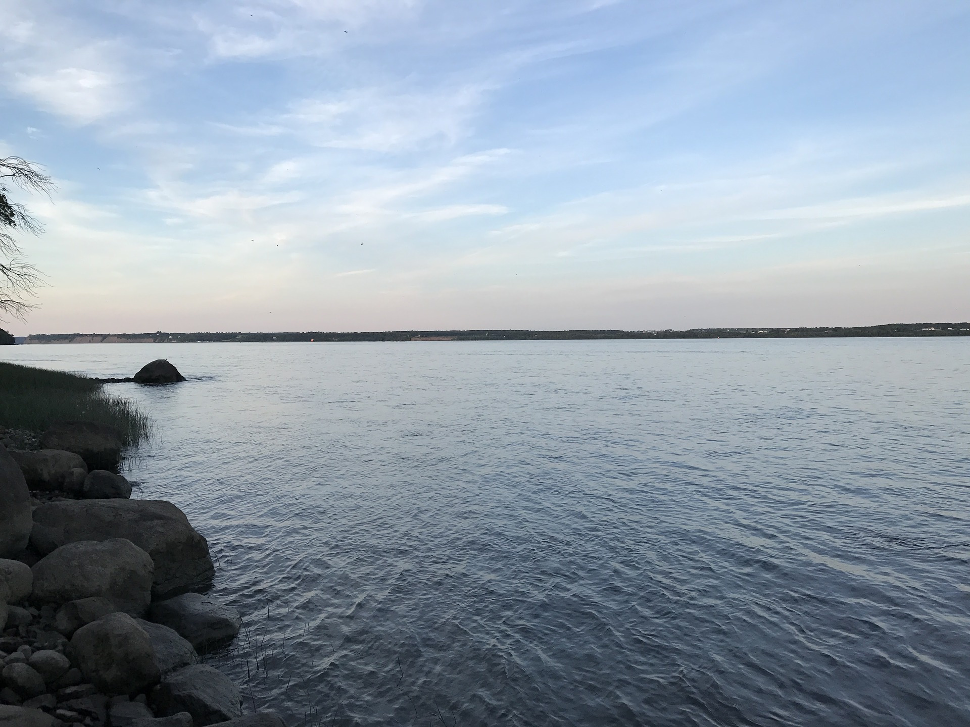
The water level of Lake Ontario remained stable in June. Unless the basin receives significant rainfall, it is likely that Lake Ontario is approaching (or has already reached) its seasonal peak or maximum level.
As a result of the drought conditions, lake levels reached critical low levels defined by Plan 2014 criterion H14, which is the trigger that allows the International Lake Ontario–St. Lawrence River Board (Board) to deviate from plan-prescribed flows. The Board began deviating from flows prescribed by Plan 2014 (Plan flows) by reducing Lake Ontario outflows on May 29. The Board will continue with the current low water deviation strategy of flow reductions 7,060 cfs below Plan flows for the foreseeable future.
“It is important to remember the ability for the Board to influence water levels within this natural system is in the realm of centimeters and inches, not meters and feet. Lake levels are largely dependent on inflows received from Mother Nature, namely precipitation,” said Steve Durrett, United States Co-Chair of the International Lake Ontario–St. Lawrence River Board. The Board will continue to monitor conditions and the effects of the deviation strategy closely while simultaneously tracking weather forecasts and drought conditions. Deviations from Plan flows under the low Criterion H14 threshold are meant to “provide all possible relief to municipal water intakes, navigation and power purposes, upstream and downstream.” The deviations are expected to decrease the risk of excessive low water levels caused by dry summer conditions. However, outflow management cannot eliminate the risk of extreme water levels from occurring during periods of severe weather and water supply conditions.
Information on hydrologic conditions, water levels, and outflows, including graphics and photos, are available at https://www.ijc.org/en/loslrb.
The Board recently held virtual public presentations on current and forecast conditions. Recordings of these presentations are available at https://ijc.org/en/loslrb/videos.
Provided information