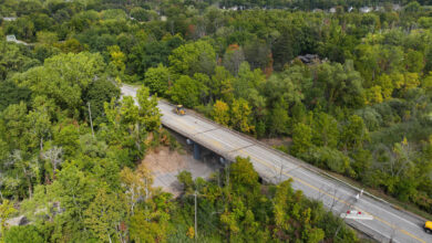
The Genesee Transportation Council has created a new online, mobile-friendly reference map showing bicycling facilities and amenities throughout the nine-county Finger Lakes region. The Greater Rochester Area Bicycling Map – found at bikemap.gtcmpo.org – provides detailed information about pathways, including on-street bike lanes and off-street shared-use paths and trails, cycling tracks and bike boulevards, as well as amenities including covered bicycle parking, self-serve repair stations, and retail shops offering bike repair services in the community.
“The goal of the digital map is to help prospective cyclists choose a comfortable bike route after discovering the types of facilities and amenities available for their use,” Genesee Transportation Council Executive Director Jim Stack. “Giving people this information will put them at ease in terms of personal safety and security, build confidence, and prove that bicycling is a viable mode of transportation while providing a plethora of other physical and mental health benefits.”
“While we encourage people to explore the region and ride more, it is important to know your own comfort level and ability. Always pay attention to your surroundings,” Stack added.
Users will find the following details about bicycling facilities and amenities on the online map:
•On-street facilities – Color-coded lines indicating the type of bicycling facility plus details including distance, begin/end points, and direction of travel.
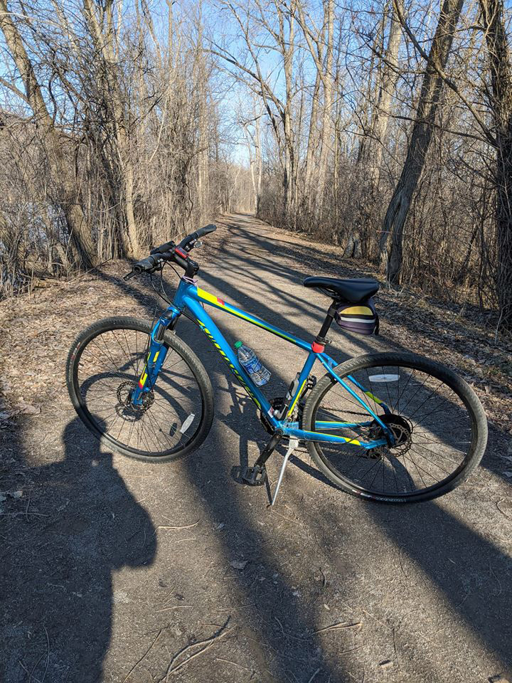
•Shared use paths and trails – Color-coded lines indicating the type of bicycling path or trail, plus details including distance, surface type (paved, stone dust, crushed stone, or unfinished), and in some places, a surface condition rating.
•Bicycling amenities – Symbols indicate the type of amenity (bike shop, repair station, and covered bike parking) plus details including the kind of parking (bike locker, locked cage, or a bike rack under a canopy) along with websites for more information.
GTC verified each data point, but changes and additions will generate updates. People are encouraged to visit publicinput.com/GTCBikeMap to submit corrections on an interactive map. People can also submit feedback about the bike map.
The digital map replaces a 2014 hard copy edition that focused on roadway ratings and cycling suitability. The expectation is that the online map will be more useful, easier to use, and easier to update.
This project is a component of the GTC Bicycle and Pedestrian Transportation Program, funded with federal planning funds made available through GTC’s Unified Planning Work Program.
Provided information and photo